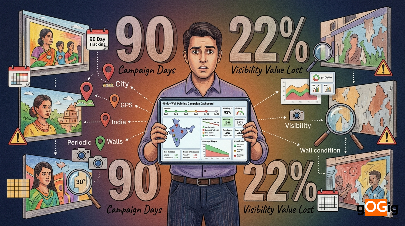
How do I detect when a vendor reuses the same pole board photo across locations?
2 min read

For brand managers running multi-location display campaigns, execution gaps are silent revenue leaks. Here's how to close them.
Most brands running mobile advertising campaigns assume their ad vehicles are covering assigned routes properly because vendors share photos and daily updates. But in reality, many campaigns suffer from incomplete route coverage, skipped locations, low dwell time, and poor execution visibility. This is why brands are increasingly searching for better ways to track ad vehicle coverage using GPS tracking for advertising vehicles, geo-fencing, and real-time vehicle campaign tracking systems.
In transit advertising, van campaigns, auto branding, and mobile LED advertising, movement alone does not guarantee visibility. Without proper ad vehicle route tracking, brands cannot verify whether vehicles actually entered target markets, spent enough time in high-footfall areas, or followed assigned routes correctly. As outdoor advertising becomes more data-driven, businesses are shifting from manual reporting toward GPS-based mobile advertising campaign tracking systems that provide measurable coverage, live monitoring, and execution transparency.
Unlike billboards or hoardings, ad vehicles are constantly moving. This makes execution monitoring significantly harder.
A vehicle may operate for an entire day and still fail to deliver proper advertising visibility because:
In most cases, brands never discover these issues during the campaign itself.
This creates one of the biggest operational gaps in outdoor advertising monitoring.
According to Geotab, GPS-enabled fleet tracking improves route accountability and operational visibility because movement becomes continuously measurable.
The same challenge exists in mobile advertising campaigns.
Without proper tracking systems, brands often depend entirely on vendor updates and selective proof.
Many mobile advertising campaigns still rely on outdated reporting methods.
The workflow usually looks like this:
But on-ground execution often looks very different.
Drivers may take shorter routes to save fuel or reduce travel time.
Low-priority or remote zones are often ignored completely.
Photos are usually captured only in premium or crowded locations.
Vehicles may remain stationary while campaigns are still marked active.
Untracked Route Deviations
Vehicles move outside assigned coverage areas without detection.
These issues become even more difficult to manage in multi-city campaigns and Tier 2 or Tier 3 markets where physical supervision is limited.
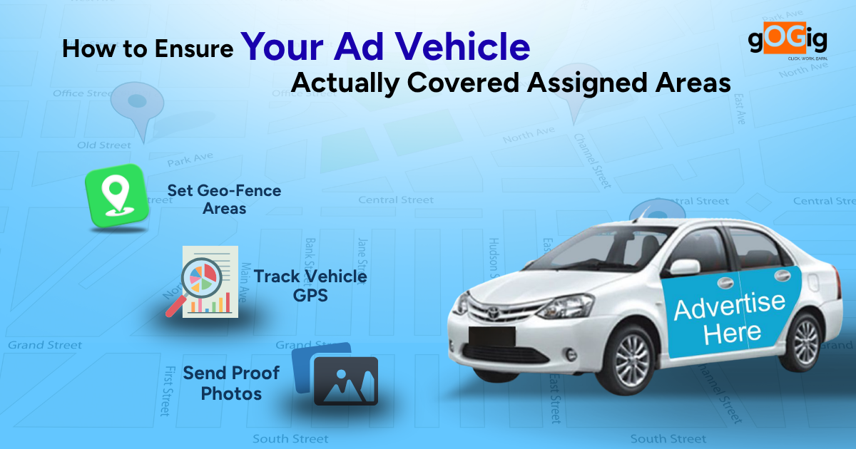
The first step in How to Ensure Your Ad Vehicle Actually Covers Assigned Areas is clarity in planning.
What leading brands do:
Why this matters:
Without route clarity, tracking becomes meaningless.
This is the most critical solution.
What GPS tracking does:
What brands can see:
Key advantage: No dependency on driver or vendor reporting.
To strengthen How to Ensure Your Ad Vehicle Actually Covered Assigned Areas, brands define geofences.
What is geo-fencing:
How it helps:
Tracking is not just about location it’s about accuracy of movement.
What leading brands track:
Why this matters:
Coverage is not just “where” it’s also “how long”.
What brands measure:
Why this is important:
Result: Better evaluation of actual campaign impact.
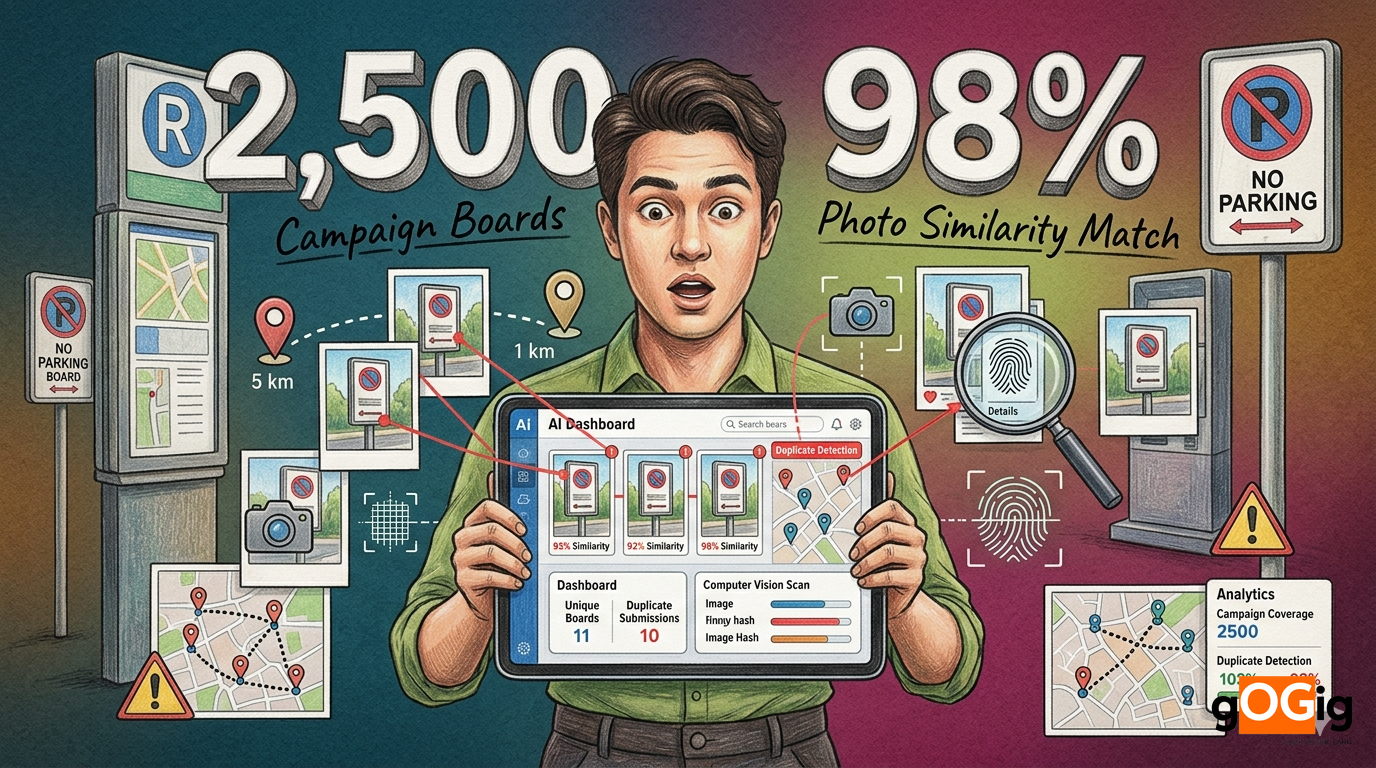
While GPS tracks movement, proof validates execution.
What leading brands do:
Why this adds value:
All tracking data must be visible in one place.
Dashboards show:
Why this matters:
Automation is key to control.
What systems can do:
Impact:
Final step in How to Ensure Your Ad Vehicle Actually Covered Assigned Areas is measurement.
What brands analyze:
This replaces:
What Changes When You Implement This System
Before
After
Campaign control shifts from assumption → certainty
Even with intent, many fail at ensuring that their ad vehicle actually covered assigned areas:
How to Ensure Your Ad Vehicle Actually Covered Assigned Areas is not about trust; it’s about tracking, verification and control.
Only when all three work together does campaign tracking become reliable.
By using GPS-enabled tracking systems that monitor vehicle movement continuously.
It defines digital boundaries to verify whether vehicles entered assigned areas.
It ensures accurate route coverage and eliminates dependency on manual reporting.
No, photos can be selective; GPS and geo-tagging are required for full validation.
gOGig ensures that ad vehicles don’t just move but deliver real coverage. By combining GPS tracking, geo-fencing, dwell-time analytics, and geo-tagged proof, it gives brands complete visibility into where vehicles went and how effectively they performed. With real-time dashboards and automated alerts, brands can detect gaps instantly and take corrective action during the campaign itself. This transforms ad vehicle campaigns from assumption-based execution into fully measurable, controlled, and optimized operations.
Written by
Was this article helpful?
Your feedback helps us write better content.